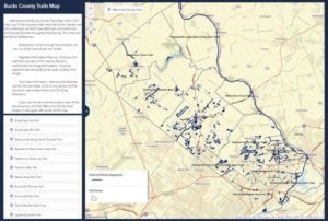
The Bucks County Planning Commission has recently announced the release of an online Bucks County Trails Map! Within this map you’ll find shared-use trails, pathways, rail trails, tow path trails & other trail and bicycle facilities throughout the county. This map has the following features:
- Bookmarks – Scroll through the list below to view up-close views of key trail routes.
- Segment Information Pop-up – Click any trail segment you see on the map to display a customized list of segment details, including segment start and end points, type, surface, and length.
- Trail Area Information – The Planning Commission has divided the county into trail areas. Click on any portion of the county to view a description and list of key attractions.


